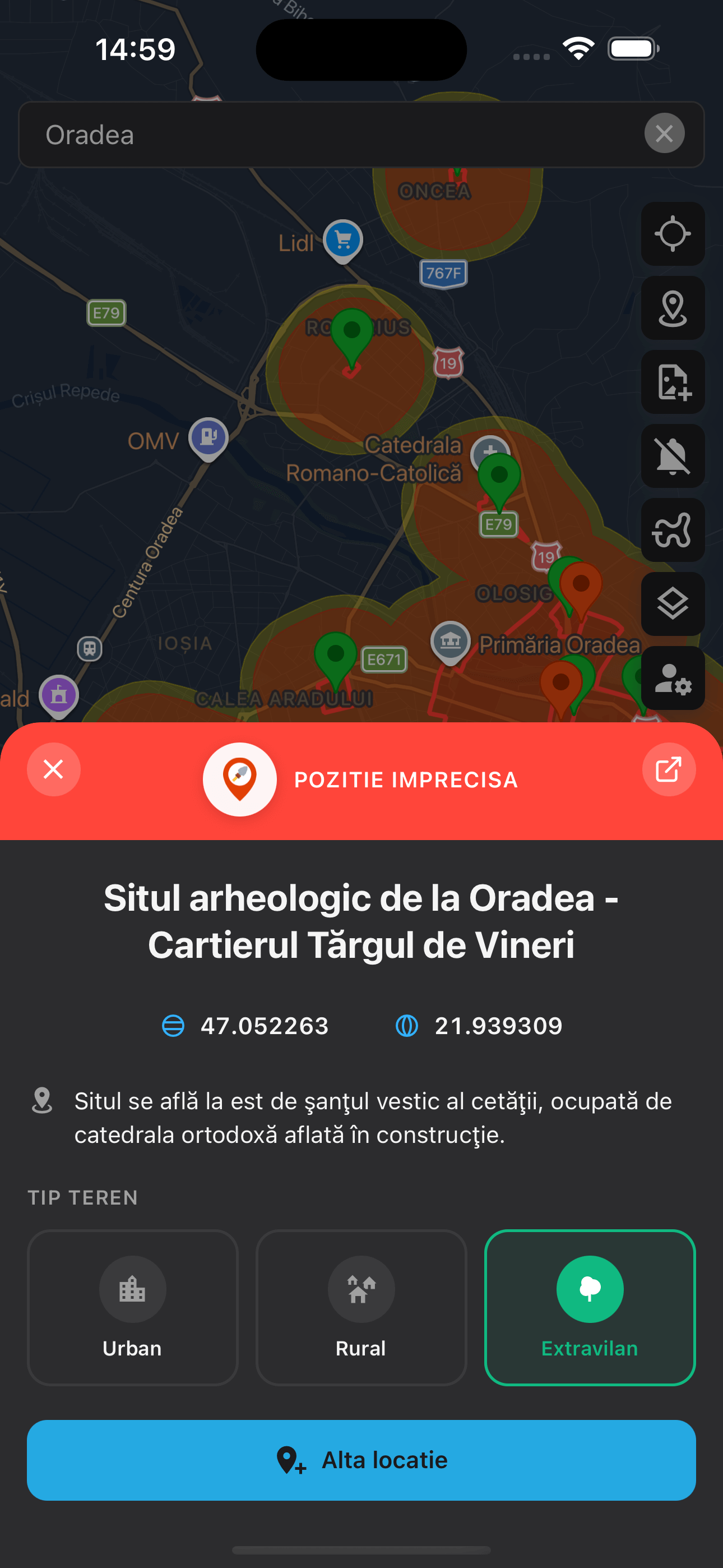
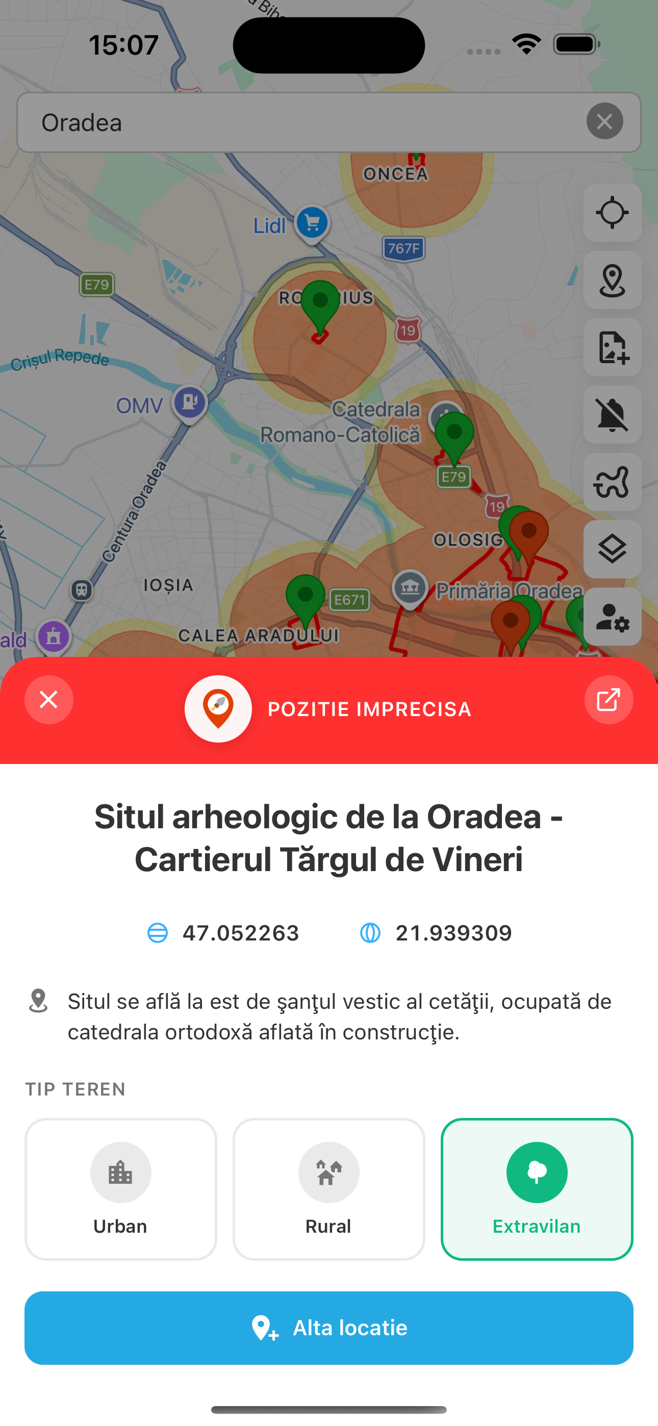
Plan and move safely: see RAN site boundaries, get alerts when approaching protected areas, and use simple field tools. Free, made by enthusiasts for enthusiasts.
π Psst... move your mouse around the page to find hidden treasures! Tap the π button to scan for treasures!
Get automatic notifications when approaching protected archaeological areas. Set the sensitivity, we'll warn you β so you can enjoy your hobby worry-free.
From Google Maps to Soviet and LiDAR maps. Choose the right perspective for each terrain and outing.
Save discoveries with photos, notes and GPS coordinates. You decide what stays private and what you share.
Measure distances, mark areas, plan routes. Everything you need in a simple interface.
RAN data syncs daily. You always have the latest information about protected areas.
Found an error on the map? Send a correction. The community improves the data for everyone.
See where you've been, track your route in real time and save the exact coordinates of each discovery.
Discoveries and favorite coordinates are private by default. Only you decide what you see and what you share.
Download, start and head out. Dektor does the rest in the background.
Available on iOS and Android, no hidden costs
The app checks your position against sites in real time
Get an alert when approaching protected areas
Photograph and document your discoveries
Download Dektor for free and join the detectorists who explore Romania responsibly.